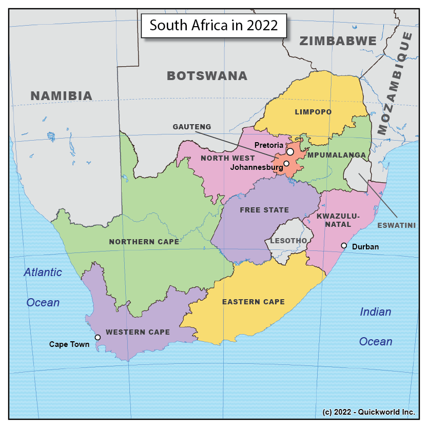
The current administrative map of South Africa is the result of the transition that was operated in the early 1990s after several decades of the apartheid regime, which had denied the black population of the most basic civic rights. While original populations were mainly Bantu in the East and Xan in the West, the region became home first to Dutch settlers send by the Dutch East India Company, then to British settlers. After gaining control over the entire region, the British founded a federation of four provinces called the Union of South Africa in 1910. This evolved into a Republic in 1961, and the apartheid era saw the creation of African homelands, commonly referred to as Bantustans. The democratization process culminated in the reintegration of the Bantustans, the redistricting into nine provinces and the first multiracial elections in 1994. More on South Africa on Quickworld
South Africa in 2022


