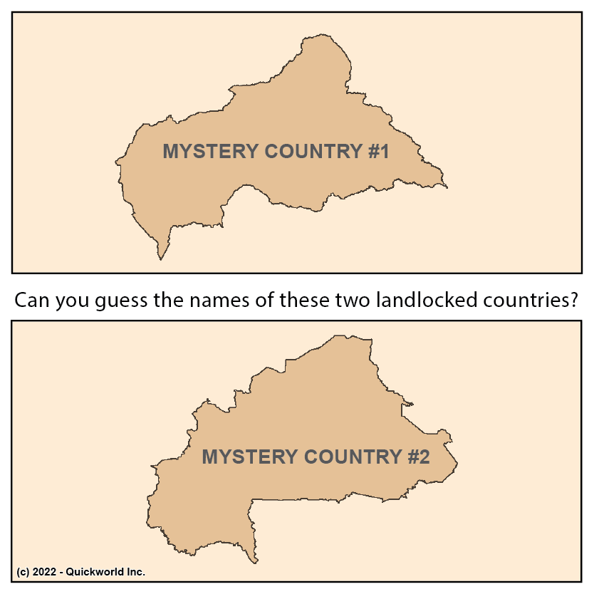
Geography is such that both natural and human-defined territories come in all sizes and shapes. It is therefore extraordinary that two of the World's 194 countries would be so similar in shape. A common description would be: its southernmost point is located at the tip of a small North-South tail. From there, the border follows an eastern direction until it reaches its easternmost point. Then, the border goes toward the North-East until it reaches its northernmost point. Then, it follows a West-Southwest line all the way to a roundish bulge that ends at the initial tail. Needless to say, a map is worth a thousand words! Can you guess which countries we are talking about? Check them out on Quickworld's Website: Mystery Country #1 and Mystery Country #2
Identical Twin Countries


